USDA Plant Hardiness Zones: What Gardeners Should Know
The USDA Plant Hardiness Zone Map is one of the most widely referenced tools in American gardening, and one of the most misunderstood. It answers one specific question well: which perennial plants are likely to survive the winter where you live. It does not tell you when to plant tomatoes.
Key takeaways
- Zones are based on the average annual extreme minimum winter temperature at a location.
- The current map, released by USDA in November 2023, uses data from 1991 to 2020.
- There are 13 zones, each 10°F wide, split into “a” and “b” half zones of 5°F.
- Zones are not planting calendars. For vegetables, use local frost dates and Extension guidance.
What the map measures
For each location, the map looks at the coldest temperature reached each winter, then averages those yearly lows over a 30-year period. That average determines the zone. According to USDA's Agricultural Research Service, the 2023 map was developed with Oregon State University's PRISM Climate Group using data from 1991 to 2020, and it is available as an interactive map searchable by ZIP code at planthardiness.ars.usda.gov.
Example: zone 6a covers an average extreme minimum of -10 to -5°F, and zone 6b covers -5 to 0°F.
What changed in 2023
Compared with the previous 2012 map, USDA reported that about half of the country shifted to the next warmer half zone, while about half stayed the same. USDA notes that changes reflect both the newer data period and improvements in mapping methods and station data, so a zone change in one place is not by itself a measure of climate change.
How to use zones correctly
Good uses
- Choosing perennials, shrubs, trees and fruit plants likely to survive your winters.
- Deciding whether perennial herbs such as rosemary need winter protection or should come indoors.
- Comparing a nursery tag ("hardy to zone 5") with your location.
What zones do not tell you
- Frost dates. Two places in the same zone can have last spring frosts weeks apart.
- Summer heat. A zone 8 garden in the humid Southeast and one in the Pacific Northwest have very different summers.
- Rainfall, humidity and soil. None of these are part of the zone calculation.
- Season length for annual vegetables, which depends on frost-free days.
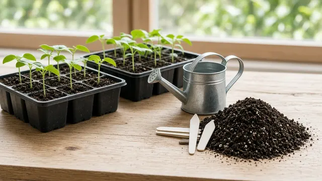
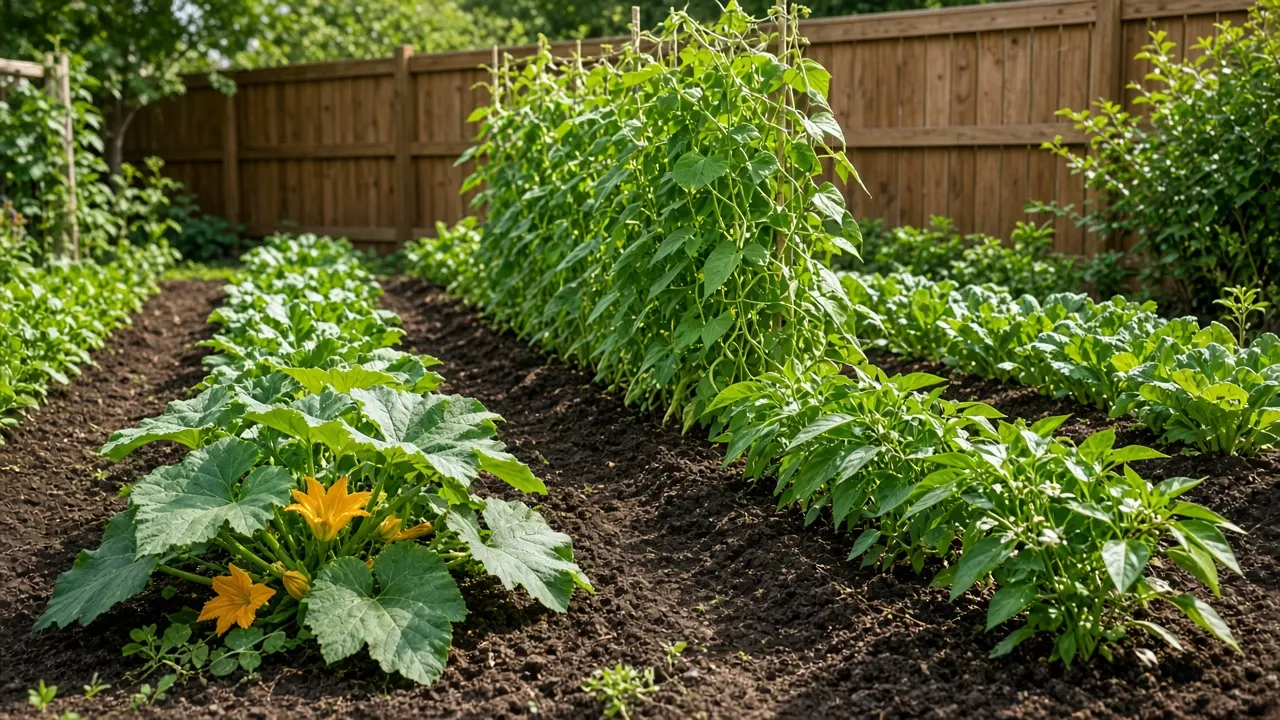
Annual vegetables such as tomatoes, beans and lettuce complete their life in one season, so winter minimums are mostly irrelevant to them. Their timing depends on frost dates and soil temperature; see regional seed-starting calendars.
Microclimates
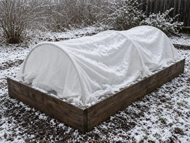
Within one yard, conditions vary. South-facing walls, paved areas and sheltered corners can be warmer; low spots where cold air settles can be colder. Raised beds and containers are more exposed than in-ground soil, so roots of perennials in containers face colder temperatures than the same plant in the ground. Many gardeners choose container perennials rated at least one or two zones colder than their own as a precaution.
Beyond the contiguous states
The USDA map also covers Alaska, Hawaii and Puerto Rico. Alaska includes some of the coldest zones; parts of Hawaii and Puerto Rico are in the warmest zones on the map.
Putting it together
- Look up your zone by ZIP code for perennial plant choices.
- Look up your average frost dates for vegetable planting.
- Check your state Extension calendar for crop-specific timing.
- Watch your own garden and keep notes.
For how winter conditions vary across regions, see winter garden planning for US climate regions.
Sources and further reading
- USDA Plant Hardiness Zone Map - USDA Agricultural Research Service
- USDA Unveils Updated Plant Hardiness Zone Map (2023) - USDA ARS
- Plant Hardiness Zone Map data - PRISM Group, Oregon State University
- Find Cooperative Extension in Your State - Extension Foundation
Gardening conditions vary by location. For recommendations specific to your area, contact your state's land-grant university Cooperative Extension office. Read our editorial policy.